
Climate
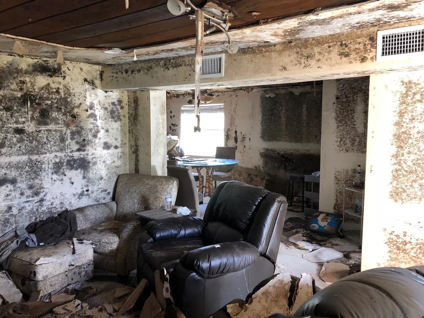
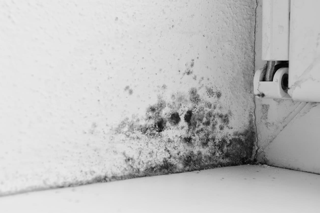
Bonita Springs's humidity and CBS construction make hidden moisture the real risk.
Read local details
Sitting between the Imperial River and the Gulf, Bonita Springs combines coastal humidity with river-flood risk. Properties west of US-41 and in the Quinn Street / Imperial Shores corridors sit in repetitive-loss flood-zone designations and require both fast extraction and rigorous moisture mapping to support Federal Flood (NFIP) claims documentation.